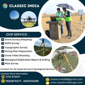
We Provide Survey Services like Topographical Survey, Aerial Survey by Drone, DGPS Survey, Mine Survey, Railway Line Survey, Leveling survey, City Survey, Tower Line Survey, Lay-out Survey, Quantity Survey, Construction Survey, Engineering Survey, Cadastral Survey, Road Survey, Pipeline Survey, Canal Survey,Geological Exploration Report Preparation, Diamond core Drilling, DTH Drilling, Calyx Drilling work, Aerial Survey, Civil Center, Building Consultants, Structural Consultants, Building Plan, Architects, Total Station Survey, Surveying, Land Surveying, Civil, Civil Engineering, Engineering, Total Station, GPS, GNSS, Boundary, RTK, Aerial Mapping, Stake out, Satellite, aerial videography, Contour Survey, gis mapping, DJI, auto level, elevation, PPK, Static Survey, Kinematic Survey ,Post Process Kinematic ,Real Time Kinematic, height of instrument, Mining Plan.
Read More »